Punchbowl National Cemetery
The Puowaina crater (commonly called "Punchbowl" due to its shape) was formed around 75,000 years ago when Honolulu was undergoing a secondary period of volcanic activity. The Punchbowl National Cemetery was built inside the crater in 1948. Over 13,000 men and women who died in service during World War II were buried then including 776 who perished in Hawaii at Pearl Harbor on Dec 7, 1941. Since its opening, 34,000 veterans of WWI, WWII, Korean War, and Vietnam War have been interred at Punchbowl National Cemetery.
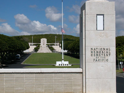
Entrance to Punchbowl Cemetery
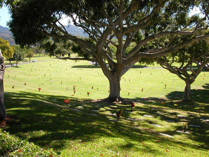
Cemetery view
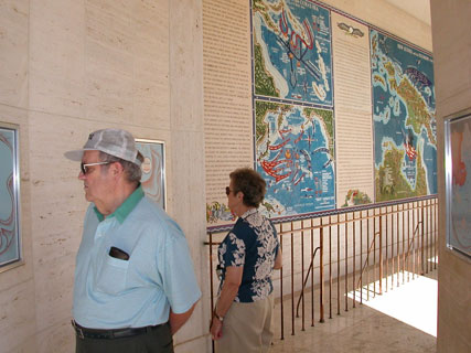
Map Gallery
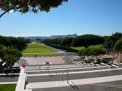
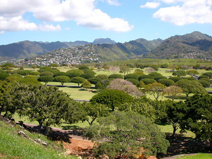
Looking across Punchbowl Cemetery toward Diamond Head
Overlooking Punchbowl Cemetery
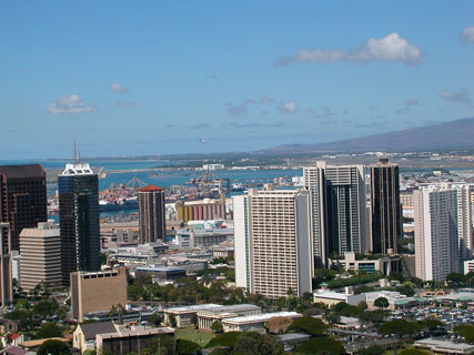
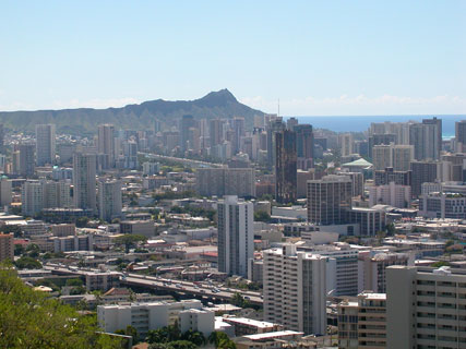
Honolulu skyline - toward the airport
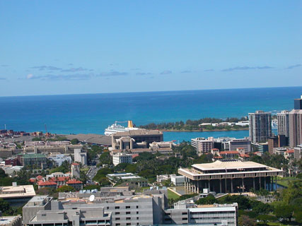
Hawaii State Capitol and cruise ship
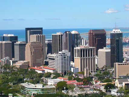
Honolulu skyline - downtown
Honolulu skyline - Waikiki
Official Website: National Memorial Cemetery of the Pacific
Tips:
* There is much to see here:
Court of the Missing: the names of 28,788 missing, lost, or buried at sea are carved on ten marble walls
Court of Honor: statue of Lady Columbia, who represents all grieving mothers, with an inscription at the bottom from a letter President Lincoln wrote to a mother: "The Solemn Pride that must be yours to have laid so costly a sacrifice upon the altar of freedom"
Chapel
Map gallery depicting important American military events in the central and south Pacific regions and Korea
Memorial pathway containing a variety of memorials honoring America's veterans
Lookout - spectacular panoramic view of Honolulu spanning from Diamond Head past the airport out towards the Leeward coast.
Visit the grounds of Punchbowl National Cemetery using Google Street View
Position your mouse over the image below and click on the circles to navigate down the road to the Court of the Missing and the Court of Honor. Click on the upper right corner to view it in full-screen mode.
Getting there:
From Waikiki area, follow Ala Moana Blvd and turn right
on Ward Avenue. Follow Ward and take a right on Prospect Street. Follow the signs to Punchbowl.
Punchbowl Cemetery is also accessible from the Pali Highway (via H1).
View Top Hawaii Tourist Attractions in a larger map
Video of Punchbowl National Cemetery